

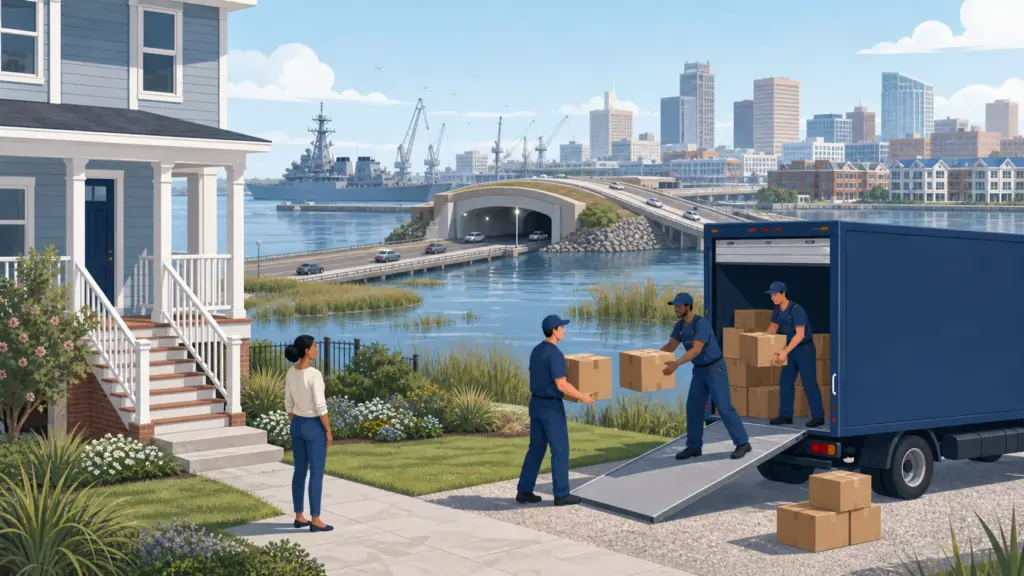
Hampton Roads functions as one labor and military region but is divided by water, independent cities, bridge-tunnels, ports, and school systems. A home that appears close to a job can require a daily tunnel crossing, while the same water geography changes flood exposure, evacuation, and the moving truck's route.
This guide compares the Southside, Peninsula, western approaches, and coastal communities before a reader chooses a city. It connects housing to the required bridge or tunnel, military and port schedules, flood and insurance review, jurisdiction, and final delivery. Its aim is to prevent a regional commute from being measured as straight-line distance.
Define Hampton Roads before comparing homes
The Hampton Roads Transportation Planning Organization includes nine independent cities and surrounding counties in its metropolitan planning work. This guide concentrates on the connected urban region around Norfolk, Virginia Beach, Chesapeake, Portsmouth, Suffolk, Hampton, and Newport News while directing readers to the responsible locality for rules and services.
A regional guide is useful only when it narrows the decision. It should not replace a city guide, county record, school locator, current listing, property inspection, insurance quote, or carrier estimate. Use it to choose the right subarea and jurisdiction; then replace every regional assumption with address-level evidence.
The Moving to Virginia guide provides statewide taxes, utilities, road conditions, mover oversight, and arrival context. The official Hampton Roads TPO defines or coordinates the regional frame used here.
Compare the region by the decision each subarea changes
A list of communities is not enough. Start with the trip, institution, service, or support network that cannot move. Add the property and delivery condition most likely to change the budget. Compare current homes only inside the subareas that survive both tests. Choose the side of the water before choosing the neighborhood.
Use the existing Norfolk guide, Virginia Beach guide, Richmond guide for city-level housing, neighborhood, building, parking, and arrival detail. The regional page should connect those guides; it should not repeat them mechanically.
Compare equivalent homes and inspect the property system
Compare current homes on the same side of the required water crossing whenever possible. Add flood and wind insurance questions, utilities, tolls, parking, HOA costs, and the recurring route. Citywide figures are especially misleading in geographically large independent cities such as Virginia Beach, Chesapeake, and Suffolk, where coastal, urban, suburban, and rural addresses sit under one municipal name.
Check current flood maps, local flood portals, prior water entry, drainage, finished-floor elevation, wind exposure, roof, crawlspace, moisture, termites, salt corrosion, trees, sewer or septic service, and insurance terms. A street outside one mapped zone can still experience tidal or rainfall access problems. Verify the evacuation zone and whether the planned vehicle route remains usable during coastal weather.
Test the required route in normal and disrupted conditions
Hampton Roads has multiple major bridges and tunnels, including the Hampton Roads Bridge-Tunnel, Monitor-Merrimac, Downtown and Midtown tunnels, James River Bridge, and Chesapeake Bay Bridge-Tunnel. Test the exact crossing at shift-change and disruption times. Military gates, port operations, construction, incidents, and weather can alter traffic quickly. Transit usefulness depends on the precise origin, destination, transfer, and service span.
Run the route at the hour it must occur, not at a convenient research time. Record the normal trip, the credible disruption, parking or toll cost, transit transfer, first and last mile, and the last practical return. Recheck the responsible transportation agency, including Hampton Roads Transit, before signing and again before moving day.
Make the written estimate name the entire regional handoff
Tell the mover which bridge or tunnel and which side of the harbor the shipment must reach. Commercial route, toll, construction, military access, port traffic, narrow urban curb, coastal elevation, gates, and long private drives belong in the written estimate. Confirm whether a crew or smaller truck will be staged locally and who pays if a crossing closure or base-security delay creates waiting.
Give every provider the same room-by-room inventory, dates, origin, destination, access photographs, packing request, heavy-item list, and required services. For an interstate move, verify the company and expected carrier through FMCSA Protect Your Move. For a move entirely within Virginia, use the state mover resource cited below and obtain the legal business name, written price terms, payment and cancellation rules, insurance information, and damage process.
Match education, work, and services to the chosen jurisdiction
Naval Station Norfolk, other military installations, the Port of Virginia, shipbuilding, universities, hospitals, tourism, and logistics generate shift-based trips in several directions. Verify base access rules with the employer, school assignment with the independent city or county, and education routes to Old Dominion University or other campuses. A household with two different water crossings should test both routines together.
Confirm the public-school assignment with the responsible district, not a listing or neighborhood name. Check child care, health care, groceries, public safety, libraries, parks, higher education, and utilities from the actual home. A service inside the region may still be impractical when it requires the wrong bridge, freeway direction, ferry, county line, or winter route.
Carry one verified address record from search through delivery
The same address record should drive the listing comparison, route test, property review, school and utility checks, quote, permit or building reservation, insurance, delivery instructions, and state arrival tasks. Changing one description without updating the others creates the same problem as comparing different homes.
Hampton Roads moving questions
Should I use a regional average to set my housing budget?
No. Use equivalent current listings in the same jurisdiction, housing type, route, and property context. Add the recurring costs and access conditions attached to those exact homes.
Can a city guide replace this area guide?
No. Use the area guide to choose the correct subarea and regional route. Use the city guide for neighborhood, building, parking, and municipal detail after the destination narrows.
Can a mover quote the job from the area name?
No reliable complete quote can be based only on a regional name. The provider needs both addresses, inventory, services, access conditions, dates, and every special handoff.
What should I recheck immediately before the move?
Road, bridge, tunnel, ferry, transit and weather conditions; permits or building reservations; carrier status; access contacts; utilities; and the agreed delivery instructions.
Browse the city and regional moving-guide directory, return to the Virginia state guide, check the moving-route directory, or use the Moveline calculator for an early route-and-home-size estimate before collecting written quotes.
Sources
Regional definitions, transportation, hazard, mover, and arrival sources were checked August 4, 2026. Follow the live official page for current boundaries, alerts, schedules, maps, forms, and rules.
- Hampton Roads TPO
- VDOT Hampton Roads bridges and tunnels
- Hampton Roads Transit
- Port of Virginia
- Norfolk flood information
- Virginia Beach flood information
- Old Dominion University
- Naval Station Norfolk
- Virginia 511
- Virginia DMV new-resident guidance
- Virginia SCC household-goods carriers
- Virginia emergency information
- FEMA Flood Map Service Center
- FMCSA Protect Your Move